Five Common Mistakes When Planning a Bridge-Hunting Road Trip (and How to Fix Them)

Bridge hunting rewards curiosity, but it punishes optimism. A crossing that looks like a ten-minute detour on a phone screen can cost you an afternoon of gravel, a locked gate and a long look at the back of a barn. The good news is that nearly every wasted hour on a bridge trip comes from the same handful of planning oversights, and all of them are fixable before you turn the key. Here are the five that catch people most often, with the practical fix for each.
1. Trusting the map pin instead of the access road
On a map, a bridge is a point. In reality it is a point with two approaches, and only one of them may be reachable by the car you rented. Rivers loop, gorges cut into the landscape, and the far bank you can see perfectly from the deck might be served by a single farm track that starts twelve kilometres upstream. The straight-line distance your phone reports says nothing about the road network.
Then there is the question of the view. The best angle on a truss or an arch is rarely from the bridge itself; it is from a bank upstream, a higher road, or a public footpath on the opposite side. Plan only the deck and you have planned the least interesting photograph of the day.
The fix
Before a stop goes into the itinerary, open the satellite layer and trace the actual roads to both ends of the bridge. Switch to street view and look at the last kilometre. Is there a lay-by, a pull-off, a village square you could park in? Is the approach a private drive, a forestry track or a footpath? Decide now, while you are sitting comfortably, whether the crossing is worth the trouble — and whether the better shot is a kilometre away rather than on the bridge.
2. Building the whole route around one famous span
Most bridge itineraries begin with a headline structure: the iron arch everyone photographs, the viaduct with the postcard reputation. That is a fine anchor, but the visit itself often takes twenty minutes while the drive to reach it takes four hours. If something goes wrong — bad weather, a closure, a village fete blocking the square — the day has nothing left to give.
Bridges also come in company. A great span exists because a road or a railway needed that crossing, and the same route usually crosses something else upstream, something smaller and older that nobody writes about. Those crossings are frequently the ones you remember.
The fix
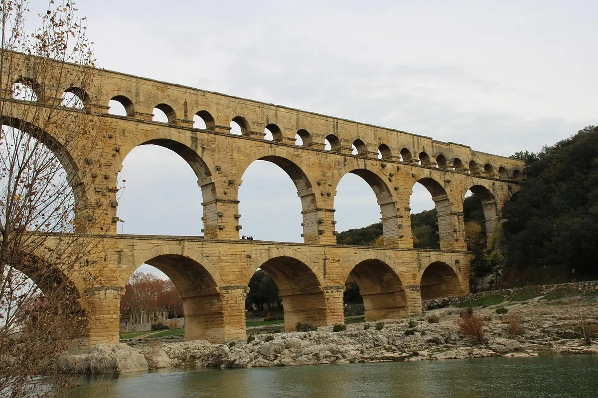
Plan corridors, not points. Pick one river valley, one railway line or one historic road and collect four to six crossings along it, mixing the celebrated with the ordinary. If the star attraction disappoints, the day still works. If it delivers, you have context for it — you can see how it differs from the masonry arches or the concrete slabs a few kilometres away.
3. Ignoring how light, season and water change the visit
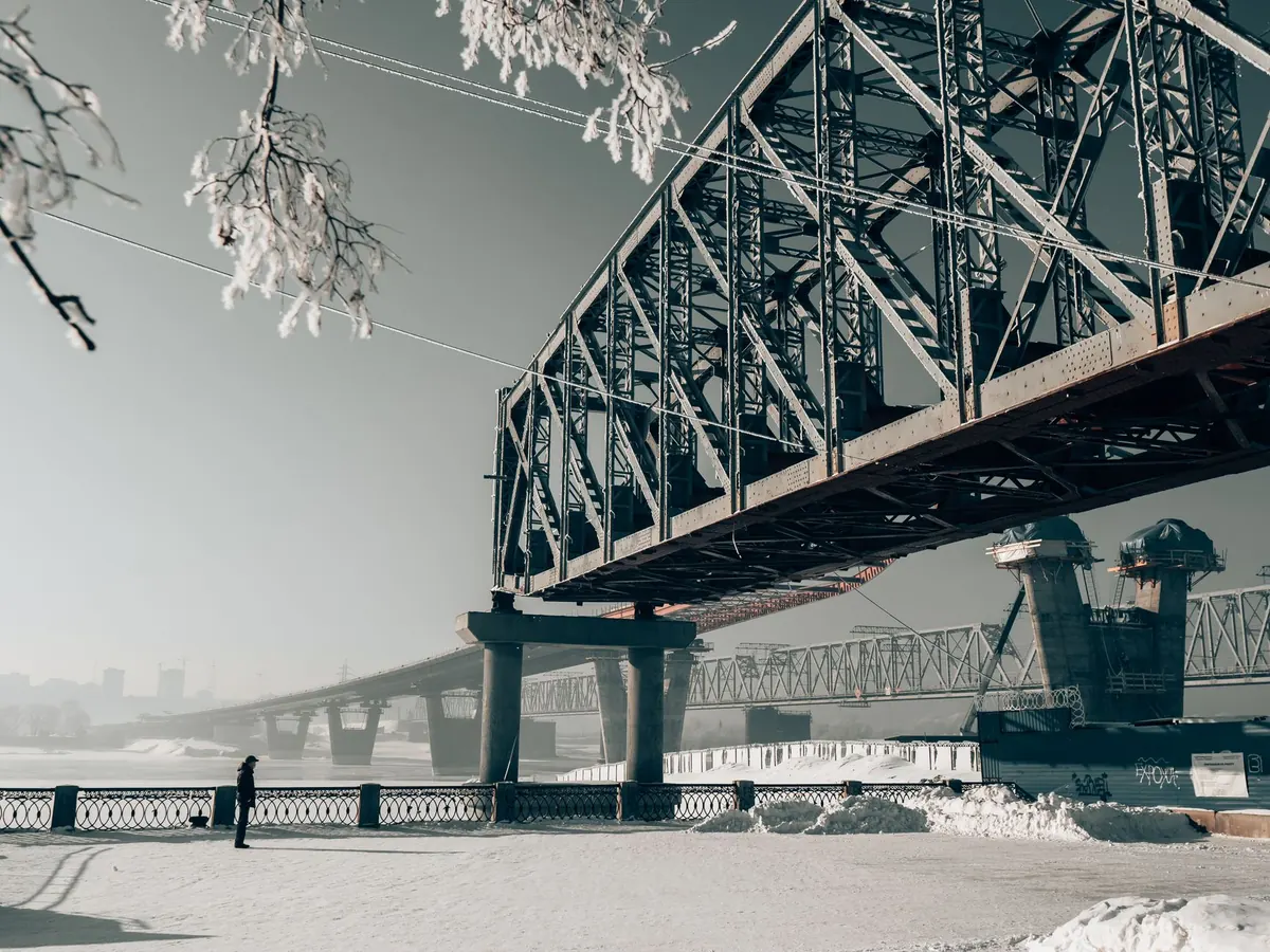
Two bridges forty metres apart can be a joy and a disappointment depending on the hour you arrive. The direction the deck runs decides when its faces catch low sun, and a deep valley can put the whole structure in shadow long before sunset. In summer, mature trees close over small crossings and hide exactly what you came to see; in winter, bare branches open the same view and the low, flat light models the masonry beautifully.
Water matters just as much. Regulated rivers rise and fall with dam releases and snowmelt. Low water exposes piers and cutwaters you would otherwise never see; high water hides the base of the bridge and can leave debris caught against the cutwaters for weeks afterwards. A crossing photographed at the wrong level can look like a different bridge.
The fix
Note the compass bearing of each deck and decide whether you want it in the morning or the late afternoon. A sun-position tool will tell you in seconds. Check river conditions before you travel, and where a river is dam-controlled, look for published release information from the operator. Where you can, allow two visits to your favourite structure in one trip — one early, one late — and treat overcast weather as an opportunity for detail rather than a lost cause.
4. Assuming you can walk on it, park near it, or even reach it
Not every bridge wants visitors. Railway crossings often have no walkway at all. Historic road bridges may be weight-limited, height-barred or closed to vehicles after restoration, and a restoration project can wrap a structure in scaffolding for years. Toll bridges and estate bridges exist on private land, and a perfectly good crossing can be legally out of bounds while the riverbank beneath it is open to anyone.
Local knowledge is uneven. A five-year-old review telling you to park on the bridge itself may describe a spot that has since been fenced, resurfaced or turned into a bus stop.
The fix
Confirm the practical facts with the people responsible, not with strangers' reviews:
- Who owns or manages the bridge — a road authority, a rail operator, a national park, a private estate.
- Whether the deck is open to pedestrians, cyclists or vehicles, and in which direction.
- Current restoration status, checked against recent dated photographs or a local notice.
- Legal parking within walking distance, with the last hundred metres traced on satellite.
- Any toll, barrier, weight limit or seasonal closure on the approach road.
A tourist office or park authority will usually answer these questions in a single email. It is the cheapest hour you will spend on the whole trip.
5. Leaving no slack in the day
Six bridges, three valleys, one day. On paper it fits. On the ground, rural roads with switchbacks and single-track sections take far longer than the map suggests, and every bridge stop expands: you walk to the far abutment, you climb the bank for the angle, you wait for the light.
The other trap is stopping badly. The shoulder of a two-lane bridge is not a viewpoint, and the approach to a narrow crossing is the last place to leave a car. A little planning here protects both you and the people who live there.
Treat every bridge as a forty-minute stop and every rural kilometre as a slow one. If the arithmetic stops working, cut a bridge rather than the buffer.
The fix
Cap the day at four or five crossings and drive the route once in your head, in order, checking where fuel, food and toilets fall. Mark your parking spot for each stop in advance. Keep one alternate crossing ready in case something is closed, and never schedule your best bridge for the last half hour of daylight.
A short checklist for the night before
- Trace the final kilometre to each bridge on satellite and confirm the approach is public.
- Check the deck's orientation and pick your hour for each stop.
- Confirm access and restoration status with the owner or local authority.
- Mark legal parking, and note where you will not stop.
- Cut the list by a third and add a blank hour in the middle.
- Save an offline map and keep one alternate bridge in reserve.
None of this removes the pleasure of turning a corner and finding a span you did not expect. It simply makes room for it. Bridges reward patience more than speed, and the trips that go well are usually the ones planned by someone who assumed a gate would be locked, a road would be closed, and the light would arrive later than promised.
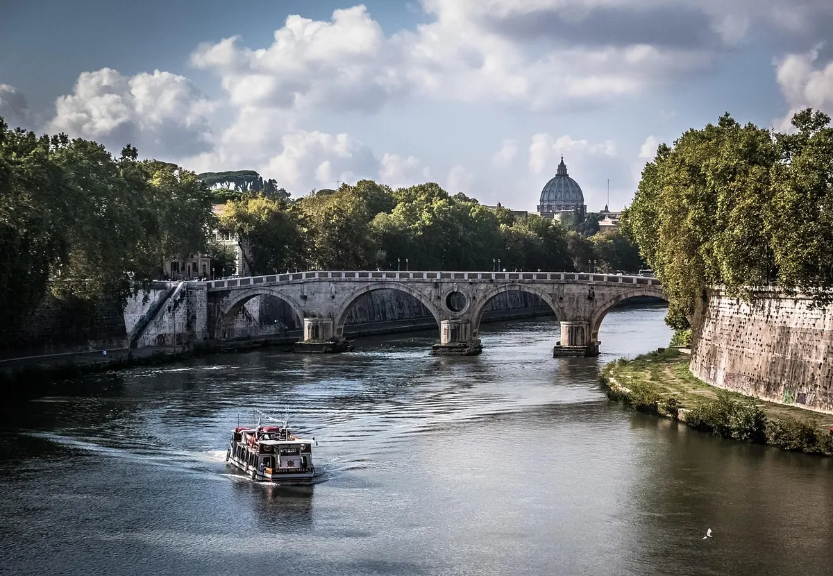
Photo: ErikaWittlieb / Pixabay